


Where to find GeoJSON boundary files for your map
Draw your own shape for free at geojson.io, download official boundaries from open datasets such as geoBoundaries, Natural Earth or OpenStreetMap, and convert other formats (KML, Shapefile, TopoJSON) to GeoJSON with mapshaper.org. Then upload it to a stop.
Step by step
Draw a custom shape
For a delivery zone, a park, a trail area or any shape of your own, open geojson.io, draw a polygon on the map, then click Export, keep File format on GeoJSON and click Export in the dialog to save a .geojson file. It’s free and needs no account.
Or download an official boundary
For countries, states, provinces, counties and cities, download a ready-made boundary from an open dataset (see the list below). Many offer GeoJSON directly.
Convert and simplify if needed
If you have KML, KMZ, a Shapefile (.zip) or TopoJSON, drop it on mapshaper.org, simplify it if it’s large, and export as GeoJSON. Mapshaper can also reproject to WGS 84 with the console command -proj wgs84.
Upload it to a stop
In Mappi, open the stop’s Boundary tab and choose Upload your own boundary. See the video guide.
Good sources for boundary data
| Source | Best for | Format |
|---|---|---|
| geojson.io | Drawing your own shapes and editing existing ones | GeoJSON |
| geoBoundaries | Administrative boundaries for every country (country, region, district) | GeoJSON, Shapefile |
| Natural Earth | Countries and states/provinces at world scale, public domain | Shapefile (convert with mapshaper) |
| OpenStreetMap via Overpass Turbo | Cities, neighborhoods, parks, islands, lakes | GeoJSON export |
| US Census TIGER/Line | US states, counties, cities and ZIP code areas | Shapefile (convert with mapshaper) |
| City and government open data portals | Local districts, wards, school zones and parks | Often GeoJSON |
Checklist before you upload
- The file is GeoJSON (.geojson or .json) and 25 MB or smaller.
- It contains a Polygon or MultiPolygon. Points and lines are ignored.
- Coordinates are longitude first, then latitude, in WGS 84 (EPSG:4326), not meters.
- The shape is near the stop you upload it to. The camera centers on the stop’s pin.
If Mappi rejects the file, its message tells you why. See fix boundary upload errors.
Was this guide helpful?
Try it in the editor
Mappi is a map animation maker that runs in your browser. No download, and no account needed to start.
Open MappiRelated guides
 0:43
Map styles & themes
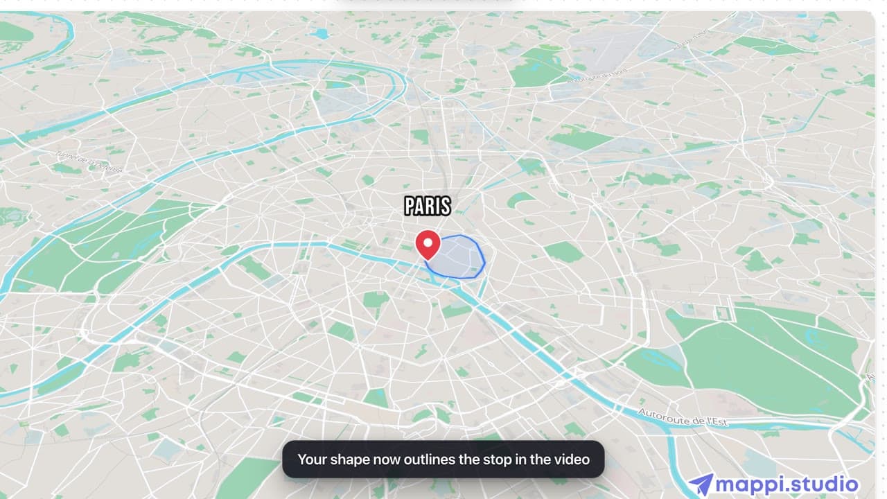
How to upload your own boundary (GeoJSON polygon)
Draw any shape around a stop on your map animation: upload a GeoJSON polygon of a district, park, delivery zone or region and review it before applying.
How to fix boundary upload errors
Every message Mappi shows when a GeoJSON boundary upload fails, what it means, and how to fix the file: wrong format, coordinates, size or geometry.
Map styles & themes
 0:39
Map styles & themes
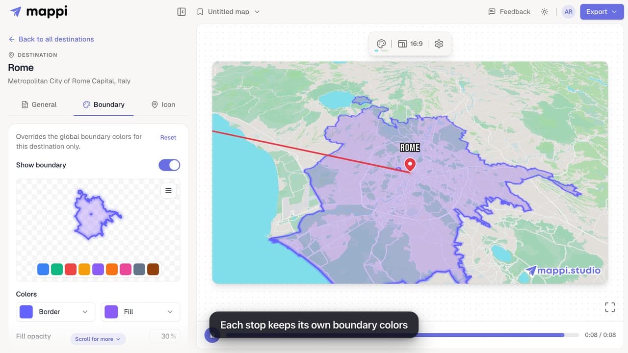
How to highlight a boundary and change its colors
Outline a country, state or city on your map animation and style it: pick a preset color, set border and fill colors, fill opacity and border width.
