


The News Producer's Guide to Fast Animated Map Graphics
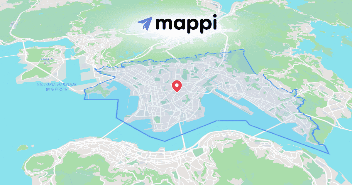
When a story breaks, the graphics desk has minutes, not hours. Mappi turns a location, a region, or a moving storm into a broadcast-ready animated map before the rundown locks.
Highlight a region in one click
For a "where is this happening" graphic, open the search bar, switch to the Regions tab, and click the country or state. Region Selector applies an animated fill-and-outline highlight instantly. No shapefile hunting, no handing the request to a designer who's already buried. The fade-in timing is adjustable, so the highlight can hit exactly on the anchor's read.
Draft the whole graphic from a sentence
When time is shortest, type the story into AI Map Prompt and Mappi builds the places, path, camera, and theme in one pass, ready for a producer to adjust rather than build. A first cut in seconds beats a perfect cut after the segment airs.
For weather coverage, the same tools animate hurricane paths with animated maps, with speed changes along the track as the story develops.
Go straight to air
- Export transparent background map animations as WebM from the Export popover.
- Drop the file over the studio feed or into the lower-third stack. No keying, no background box.
- Re-export updated versions as the story moves; the project stays editable all day.
Every version renders through Mappi's frame-accurate render engine, so the on-air file never stutters.
Continue reading
Visualizing Hurricane Paths With Animated Maps
Turn advisory coordinates into an animated storm track: eased speed changes, one-click state highlights, and broadcast-ready output.
How to Export Transparent Background Map Animations
Export your map as a transparent WebM and drop it into any edit as an overlay. No keying, no background box, just the map floating over your footage.
