


Region Selector: Highlight Any Country in One Click
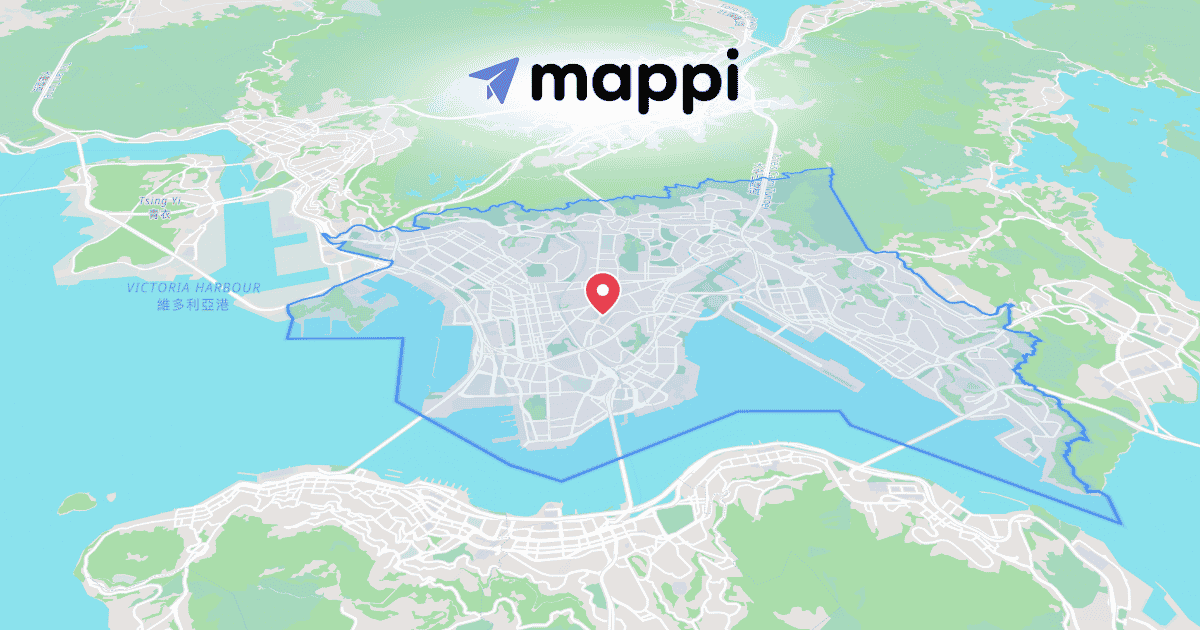
Highlighting a country on a map used to mean hunting down boundary files and tracing polygons by hand. Region Selector reduces all of it to a single click on any country, state, or city.
One click to a finished highlight
- In the editor, open the search bar and switch to the Regions tab.
- Click any country, state, or city in the list.
- Pick the reveal: solid fill, drawn outline, or a soft fade-in.
That's the whole workflow. The boundary data and animation timing are handled for you. When you want full control over the draw-on effect, here's how to animate a country border highlight step by step.
Fast enough for a deadline
Because a highlight takes seconds instead of an afternoon, the Regions tab is the backbone of fast animated map graphics for news. Election-night states, storm-affected counties, breaking-story regions: all clickable in the time it takes to say them on air.
Match the highlight to the story
Highlights inherit your map style, so a region pops in the palette you build in Theme Studio rather than a default blue. Stack several regions to show an empire's reach. That's exactly how we traced the Roman road network as a map video, lighting up provinces one by one.
Once your region is glowing, give it a name on screen: Label Styler adds custom text and callouts that reveal right alongside the highlight.
Continue reading
How to Highlight a Country With an Animated Border
Trace a border on screen, fade the fill in, and reveal the label: the one-click animated country highlight workflow in Mappi.
The News Producer's Guide to Fast Animated Map Graphics
Region highlights, storm tracks, and transparent overlays for the studio feed: how newsrooms build animated map graphics in Mappi before the rundown locks.
